
Delivered package
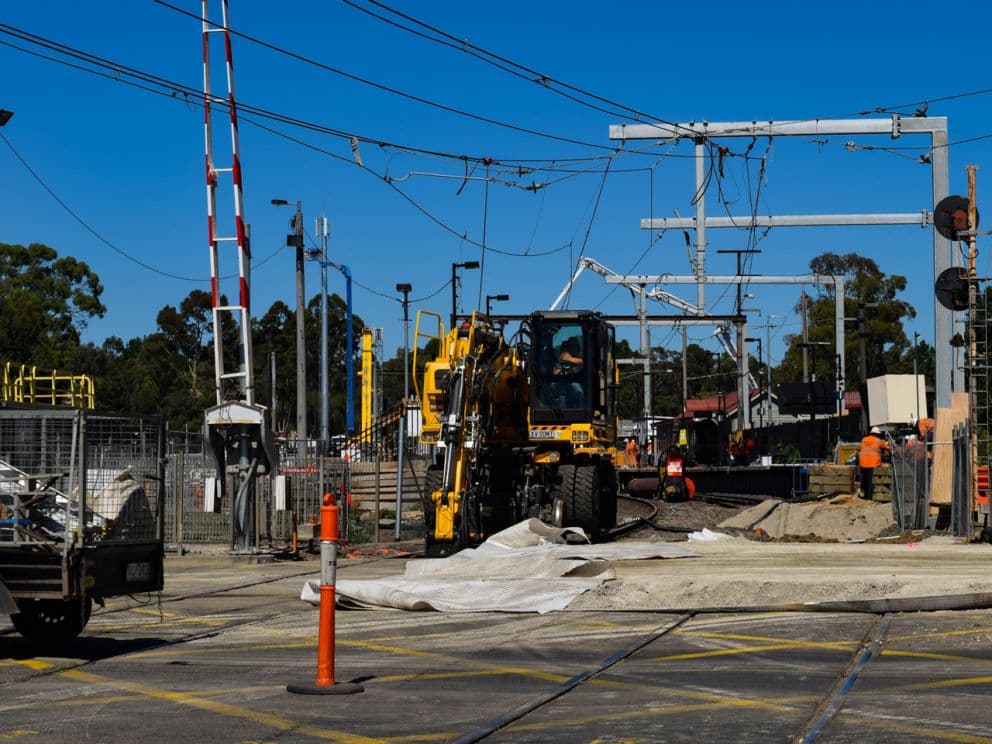
Mooroolbark Station Level Crossing Removal Project (LCRP)
Realsurv worked with program partner Laing O'Rourke to prepare all survey documentation and evaluations for the removal of level crossings at Manchester Road, Mooroolbark and Maroondah Highway, Lilydale to enable the…
- Client
- Laing O'Rourke, SEPA/Symal
- Value
- $200 Million
- Status
- Complete, 2021
- Location
- Melbourne, VIC
Overview
Realsurv worked with program partner Laing O'Rourke to prepare all survey documentation and evaluations for the removal of level crossings at Manchester Road, Mooroolbark and Maroondah Highway, Lilydale to enable the building of rail bridges over major roads.
This included the use of UAV drone surveying for accurate and efficient surveying of the site and preparation of detailed mapping and design checks which enable coordinated project progress with no interruption to earthwork progress.
Elevated stations were built at Lilydale and Mooroolbark as part of the project, along with a new multi-deck car park for 900 spaces, making it easier for commuters.
Early works started in May 2020 with the new station open to passengers in Nov 2021.
Our role
UAV aerial drone surveying, 3D laser scanning, management of machine control models, conformance reports and management of all survey related earthworks activities.
Send us a scope
Tell us the program, the package and the dates. We will come back with crew availability and a rate submission.