Services.


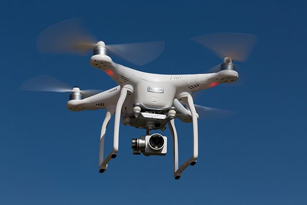
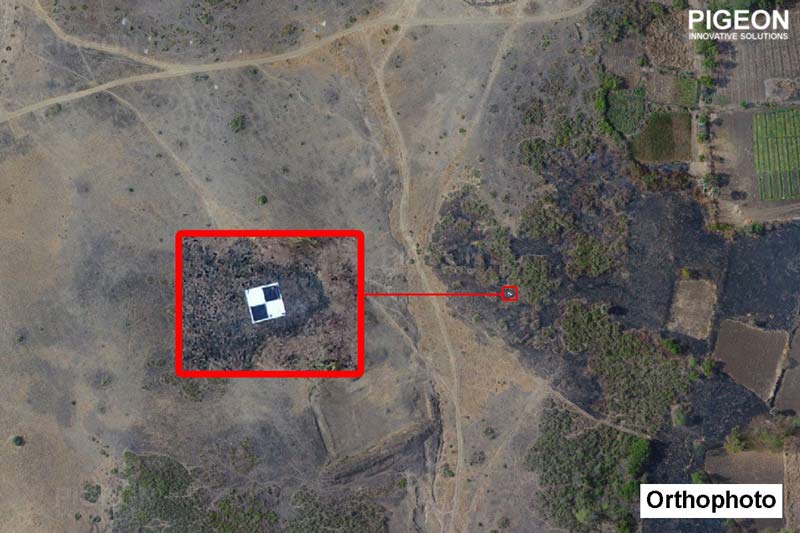
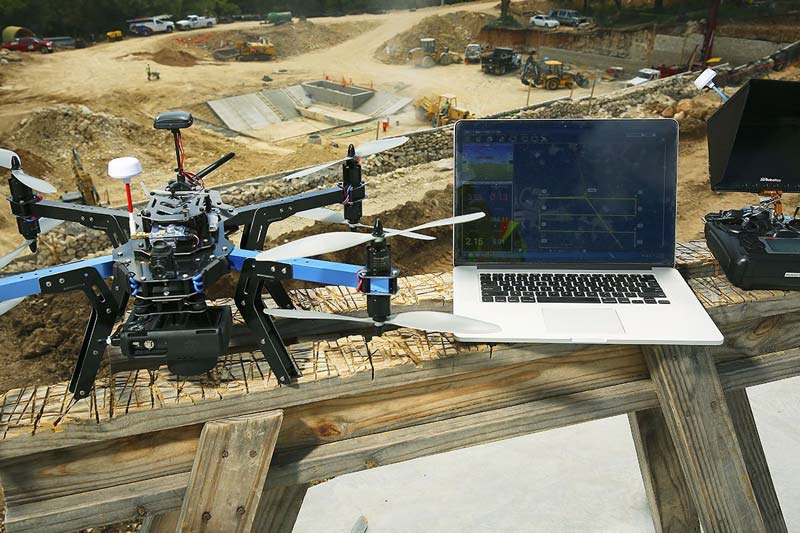
Aerial Surveys
At Realsurv we are staying up to date with the latest survey methodology, with the use of UAV drones in aerial surveys proving an invaluable tool for catering to our client requirements. UAV’s are becoming increasingly popular in large scale projects as they benefit the client as well as the surveyors.
Benefits:
- Efficiency in the collection and processing of large areas requiring survey
- Higher accuracy of survey data
- Cost-effective
- Unaffected by ground work so not restricted in relation to any site delays
- Minimise risk to personnel as they do not have to be in the area of survey
Applications:
- Calculation of volumes
- Updated aerial map of site overview as required
- Visual site inspections
- Interaction between site photogrammetry and as-built information to assist with site planning
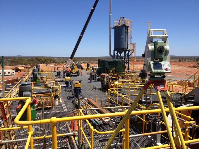
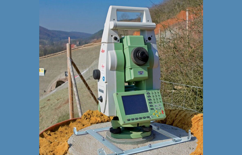
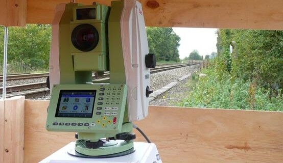
Engineering Surveys
With a wide range of experience from tier one to owner-operator run projects, no job is too big or small. We are well versed on road, rail, bridge, high rise and all manner of civil infrastructure projects which allows us to regularly exceed expectations when engaged, which is reflected in our strong, long lasting relationships with all new and existing clients.
Engineering Survey services we provide include:
- Establishment of primary and secondary control networks
- All survey calculations
- Underground utility and asset management
- Precise concrete/steel set-out as per required tolerances
- As-built/As-con surveys
- Set-out/As-built conformance reports and plots
- Marine piling
- Asphalt and road feature set-outs and as-builts
- Volume and mass haul calculations
- Creation of customized 12d macros for surveyors
- Scanning
- UAV Surveys
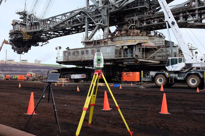
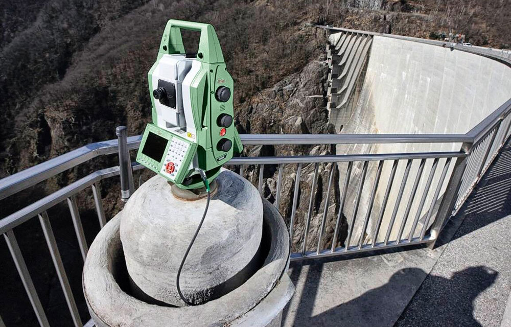
Monitoring
Monitoring is an important part of large-scale construction in order to maintain a safe working environment. It allows us to determine and assess movement in structures or areas of concern and make decisions based on this information in how best to proceed and deal with any deformation. Having access to early warnings are invaluable in averting avoidable structural failures and unnecessary costs.
What we can provide:
- Precise measurement of movement both horizontally and vertically
- Determine whether structures are sinking or vibrating
- Provide reports on movement at required intervals/time frames
- 24/7 live feed, remote monitoring systems used to monitor both rail and structures
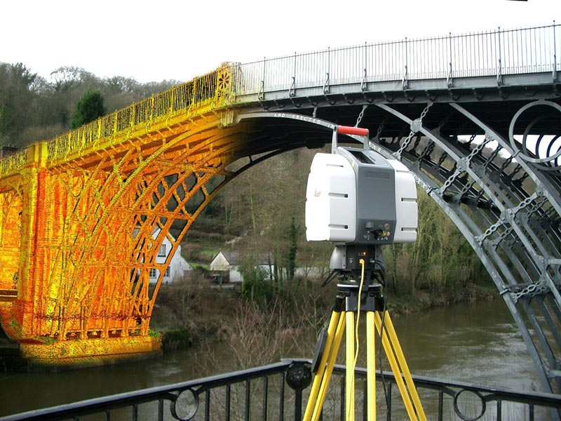
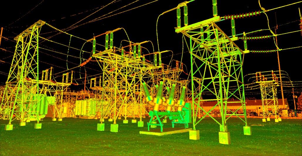
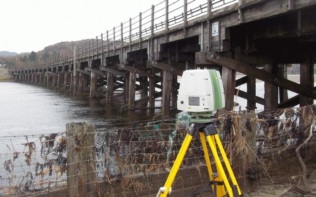
Scanning
Laser scanning is an ideal method for capturing large amounts of data in an efficient manner. There are many practical applications for this such as detail/feature surveys, monitoring of structures and creation of 3D models for design. This method of collection of spatial data allows us to provide a diverse range of results tailored to client requirements. Get in touch today for a quote on your next project.